
Engineering & Surveying Services
Delivering precise spatial measurements, stable soil analysis metrics, and checked Civil drawing alignment sets.
SURVEY PRECISION
± 2.0mm
Land & Engineering Surveying
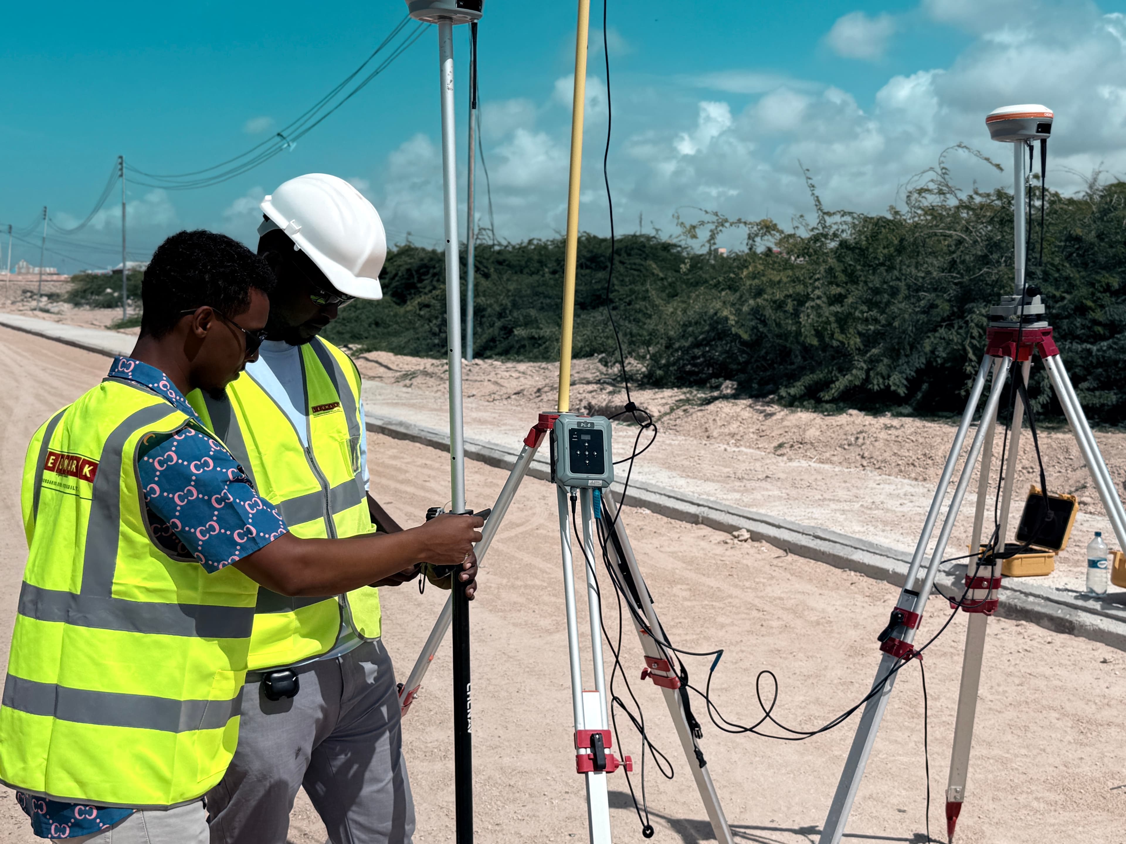
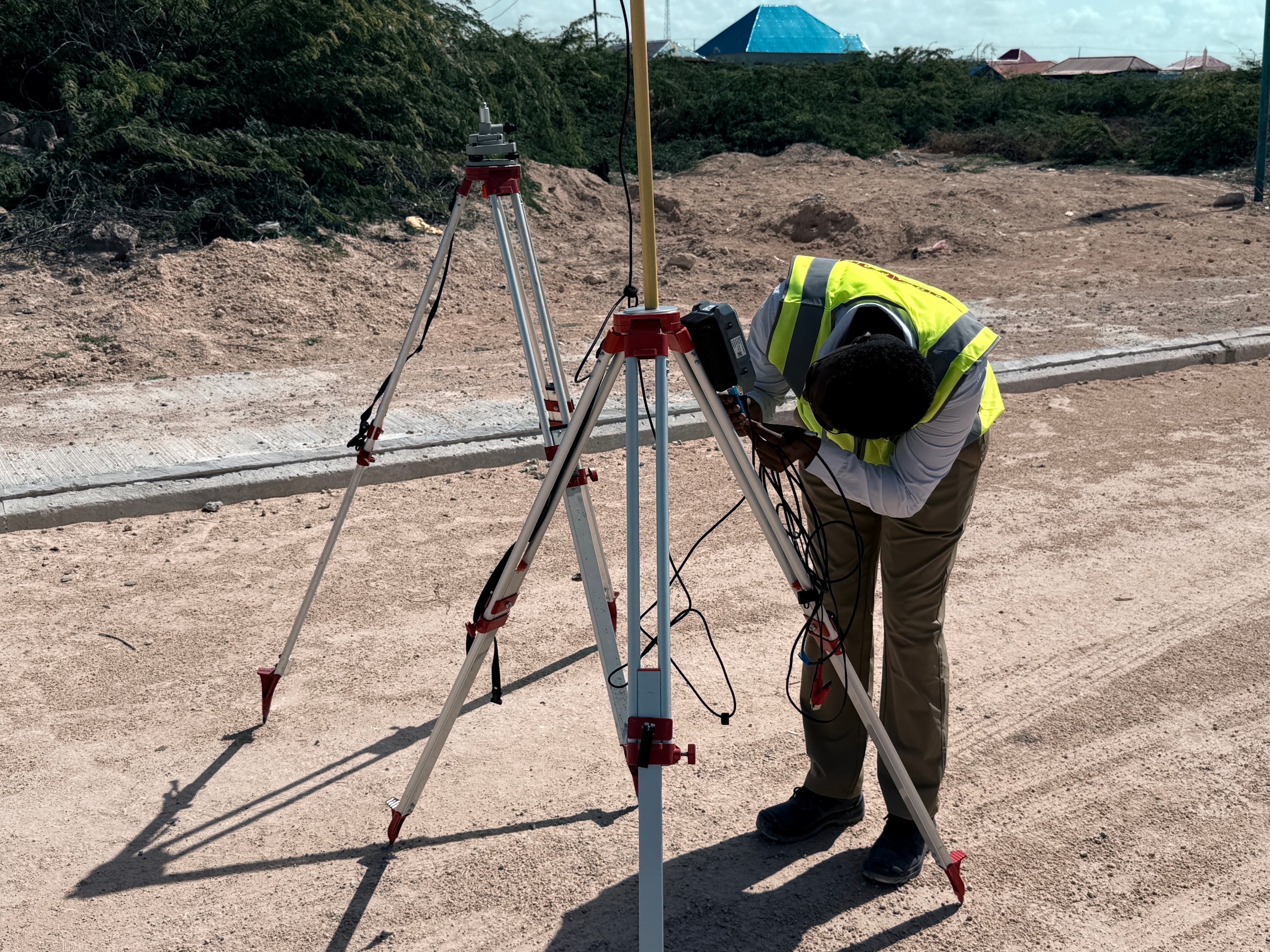
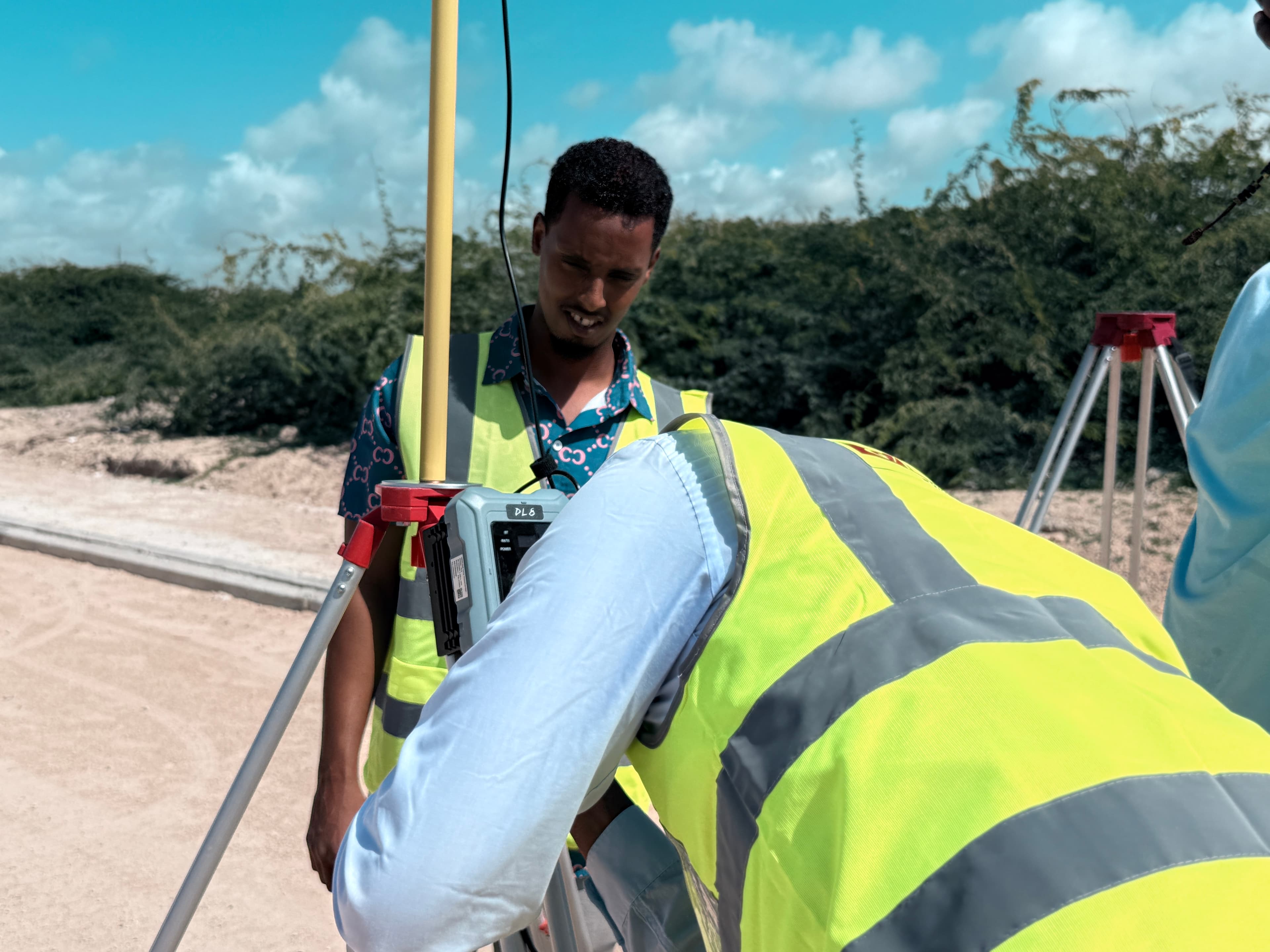
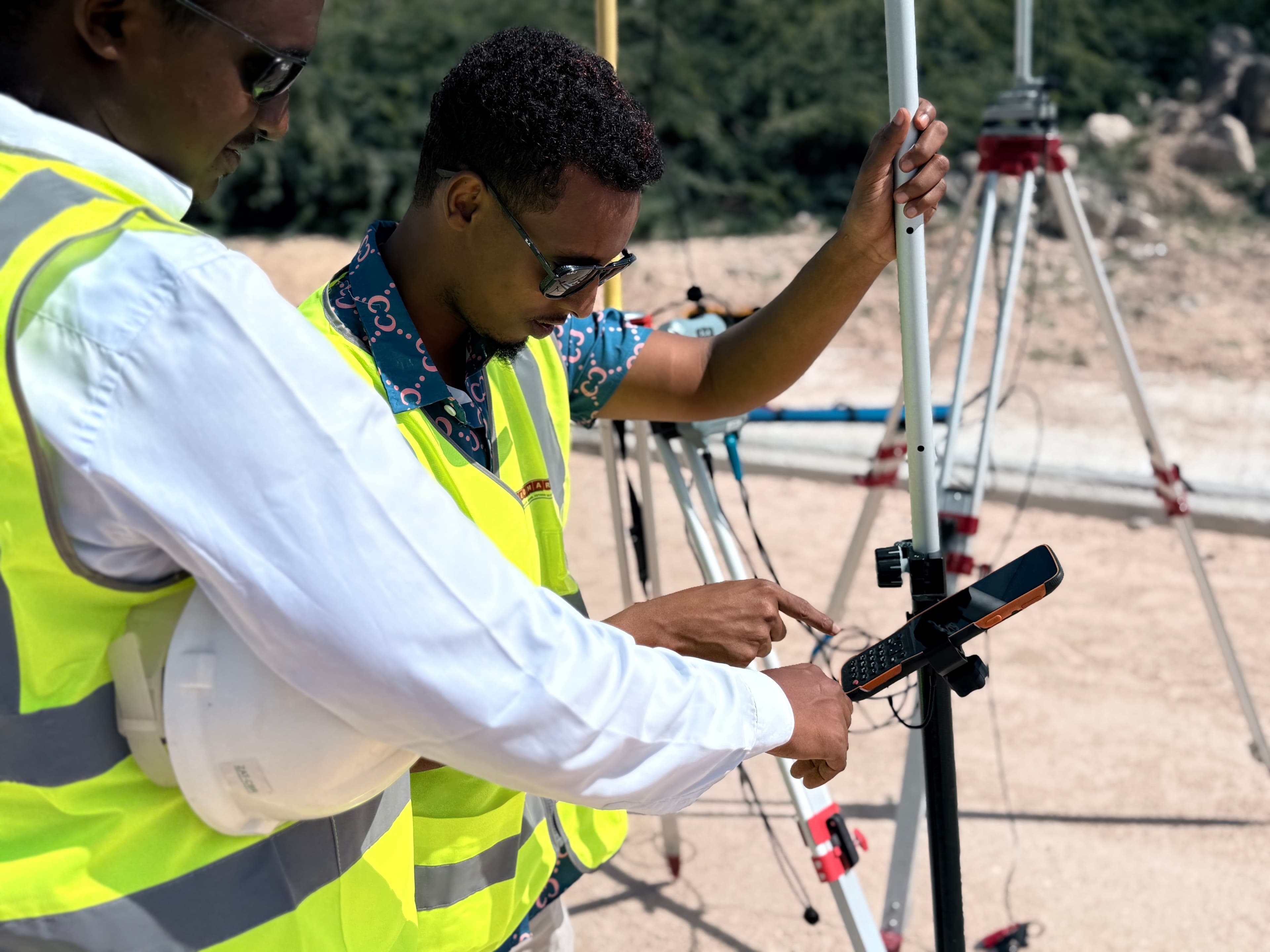
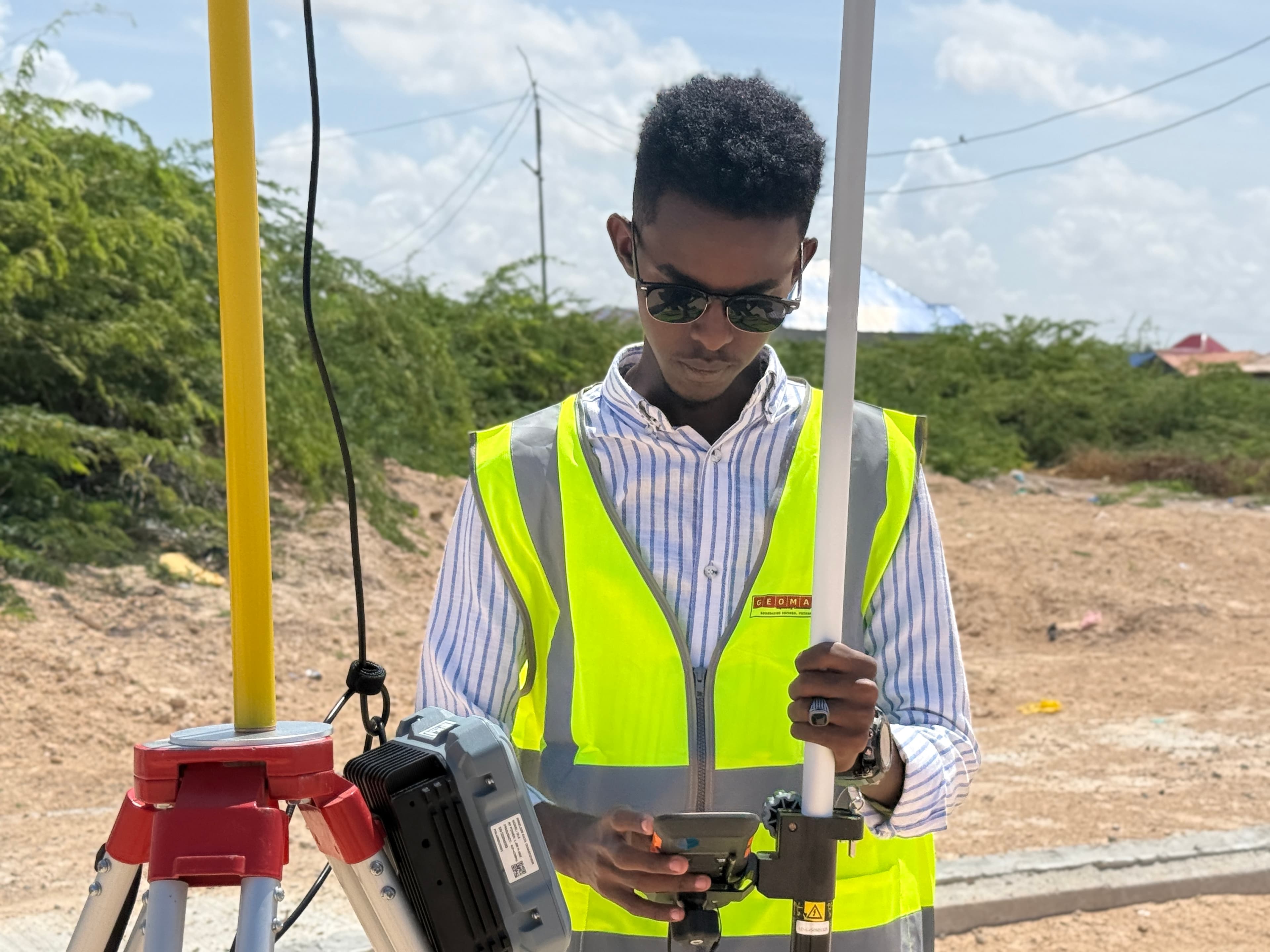
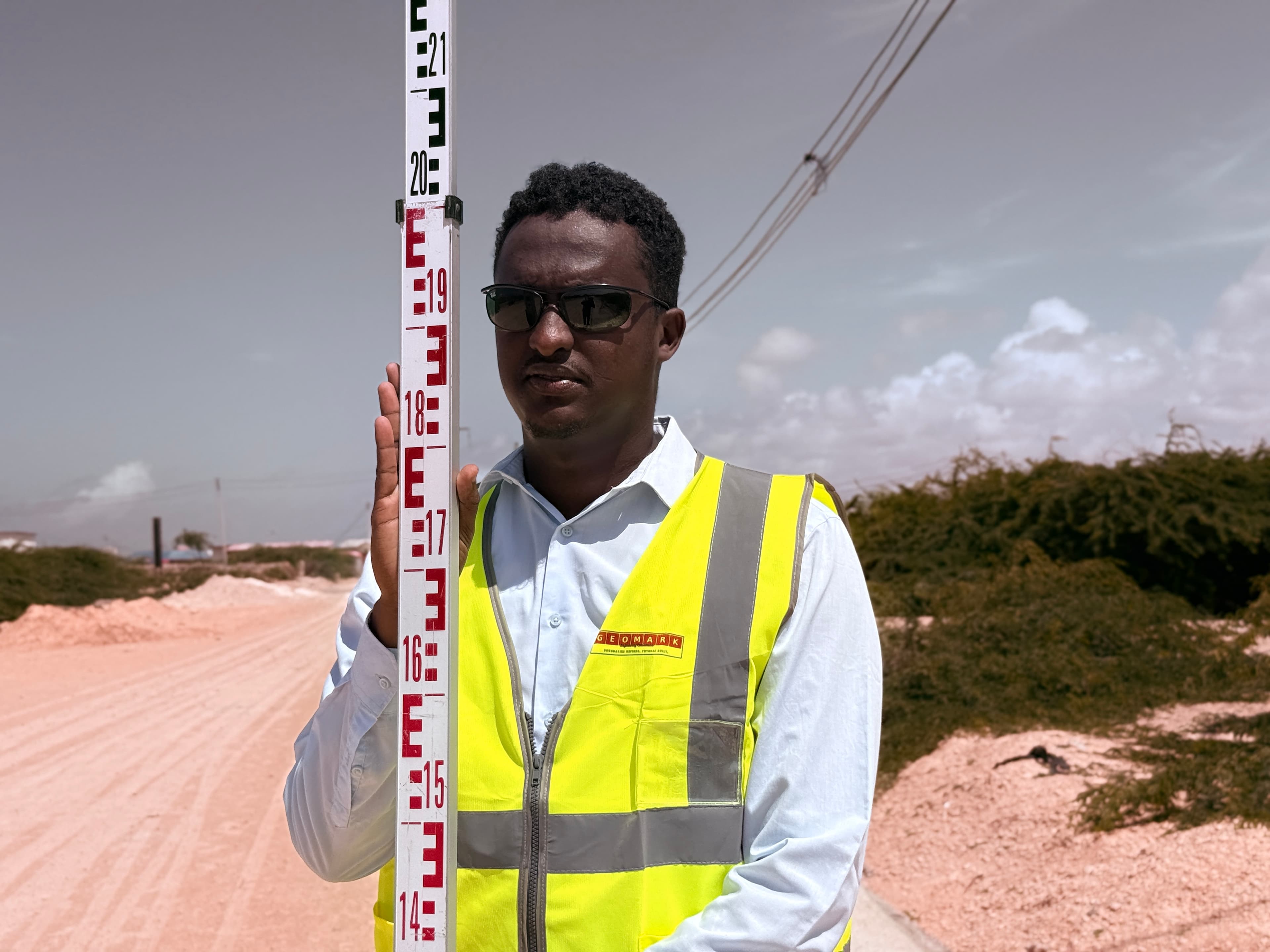
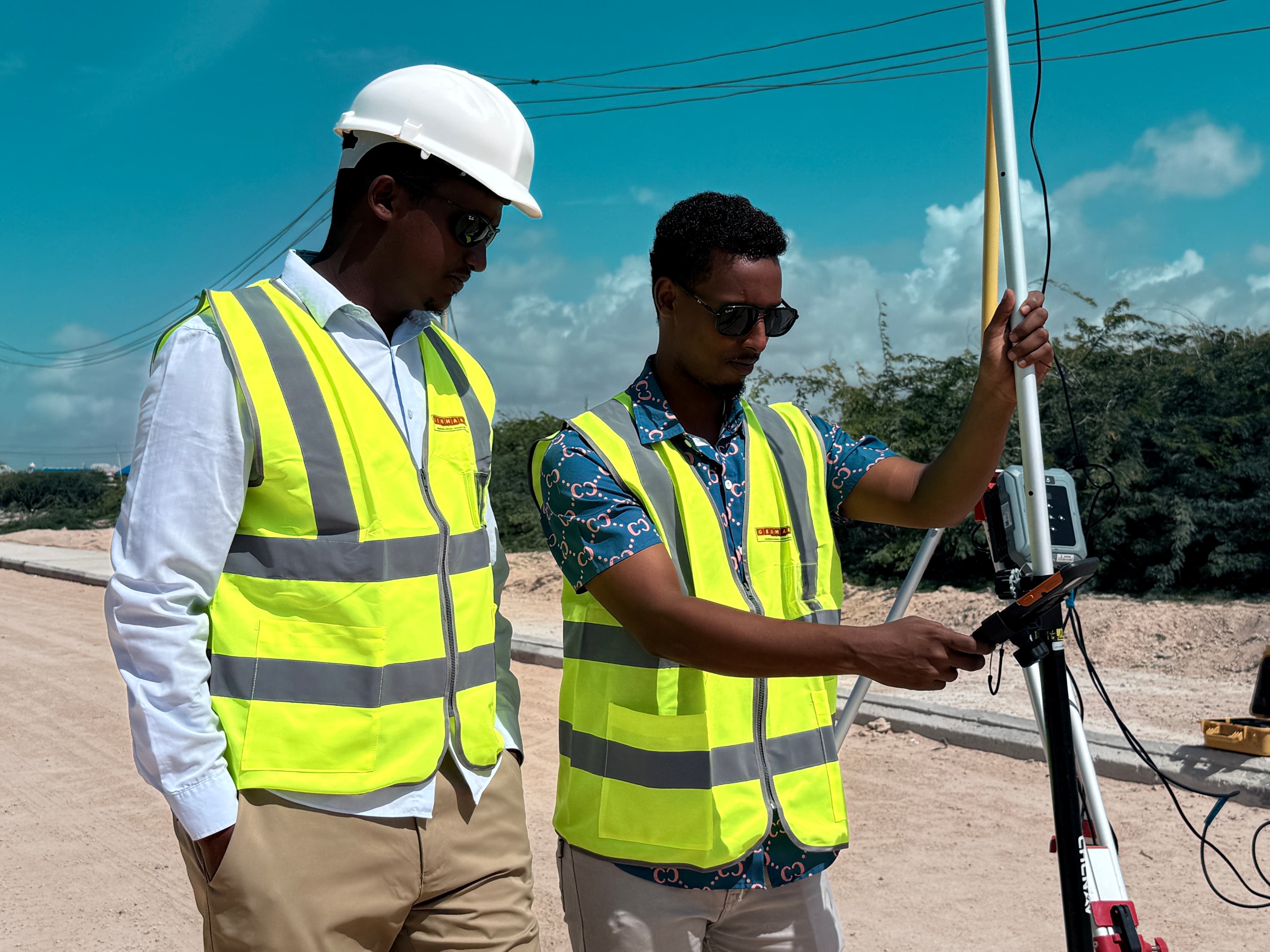
Our surveying division establishes stable high-accuracy geodetic control networks using dual-frequency GNSS receivers and precise total stations to guarantee coordinate consistency on infrastructure grids.
Land Survey Specs
- GNSS_MODE Dual-Frequency GNSS RTK
- VERTICAL_PRECISION ± 2.0mm
- HORIZONTAL_PRECISION ± 1.5cm
- OUTPUTS CAD / LandXML / Contour
- LIMITS Geodetic loop control
Geotechnical Investigation
We mitigate subsurface construction risk by managing comprehensive site boring logs, Standard Penetration Tests (SPT), test pits, and laboratory classification reports.
Soil Investigation Specs
- TEST_CODE ASTM D1586 Standard
- MAX_DEPTH 50 Meters SPT boring
- LAB_CLASSIFICATION USCS Soil Standards
- REPORT_INDEX Shear / Sieve / CBR log
- RECOMMENDATIONS Shallow / Deep foundations
Engineering Documentation
We translate our field and soil measurements directly into construction-ready CAD alignments, strip maps, cross-sections, and Bills of Quantities (BoQ) formatted for highway design and civil specifications.
As-Built Plans & Cross-Sections
Millimeter-precise terrain cross-sections mapping verified elevations.
Technical Corridor Strip Maps
Unified topographic and soil profile overlay maps along highway corridors.
Bills of Quantities (BoQ) & Civil Reports
Calculated soil volume estimates and materials classification logs.
CAD & Documentation Standards
- ALIGNMENT_STANDARD AASHTO Design Codes
- STRIP_MAPS Soil Log / Road corridor overlay
- CAD_COMPATIBILITY Civil 3D / BIM integration
- BILL_OF_QUANTITIES Detailed material estimate
- REVIEWS FEA structural checks
Construction Materials Testing (Borrow-Pit)
We manage dedicated geotechnical testing for borrow-pits, structural concrete aggregates, asphalt, and road material suitability.
Physical Lab Testing
Sieve analysis of soil, index tests, sand equivalent checks, and CBR calculations to document borrow-pit suitability.
UAV Photogrammetry
Detailed topographic aerial mapping and orthomosaics. Drones gather volumetric grid points over vast corridors.
Technical Databases
Mapping spatial parameters, control benchmarks, and boring logs into structured relational design databases.
Partner with GEOMARK Engineering Consultants
Connect with our engineering specialists to receive a detailed technical proposal and project timeline within 48 hours.