Boundaries Defined.
Futures Built.
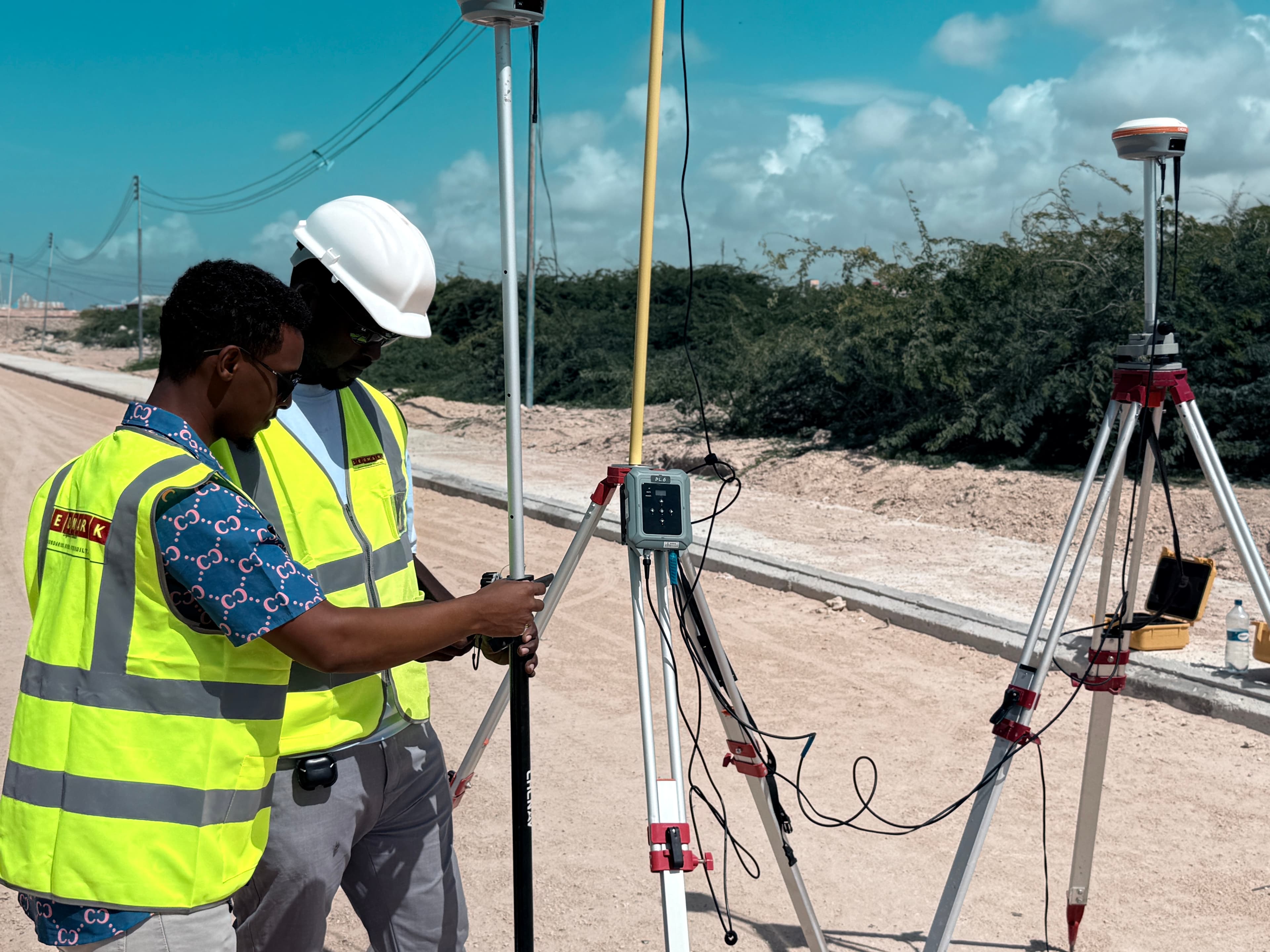
GEOMARK provides professional land surveying, geotechnical investigation, materials testing, and engineering documentation in Mogadishu, Somalia.
Integrated Engineering Support
Our service lines provide accurate ground control, subsurface soil analysis, and certified design files compliant with engineering codes.
Land & Engineering Surveying
Topographic mapping, boundary demarcation, and construction layout with geodetic control networks using dual-frequency GNSS receivers.
Geotechnical Investigation
Subsurface soil exploration, Standard Penetration Testing (SPT), trial pit logging, and laboratory classifications for foundational safety.
Engineering Design & Docs
Civil alignment designs, aggregate source reports, soil-profile maps, cross-sections, strip maps, and construction-ready drawing sets.
Technical Precision-focused Infrastructure Support
GEOMARK is an engineering consultancy firm specializing in land surveying, geotechnical investigation, materials testing, and drafting services in Somalia. We deliver validated ground and geodetic data to mitigate technical risks.
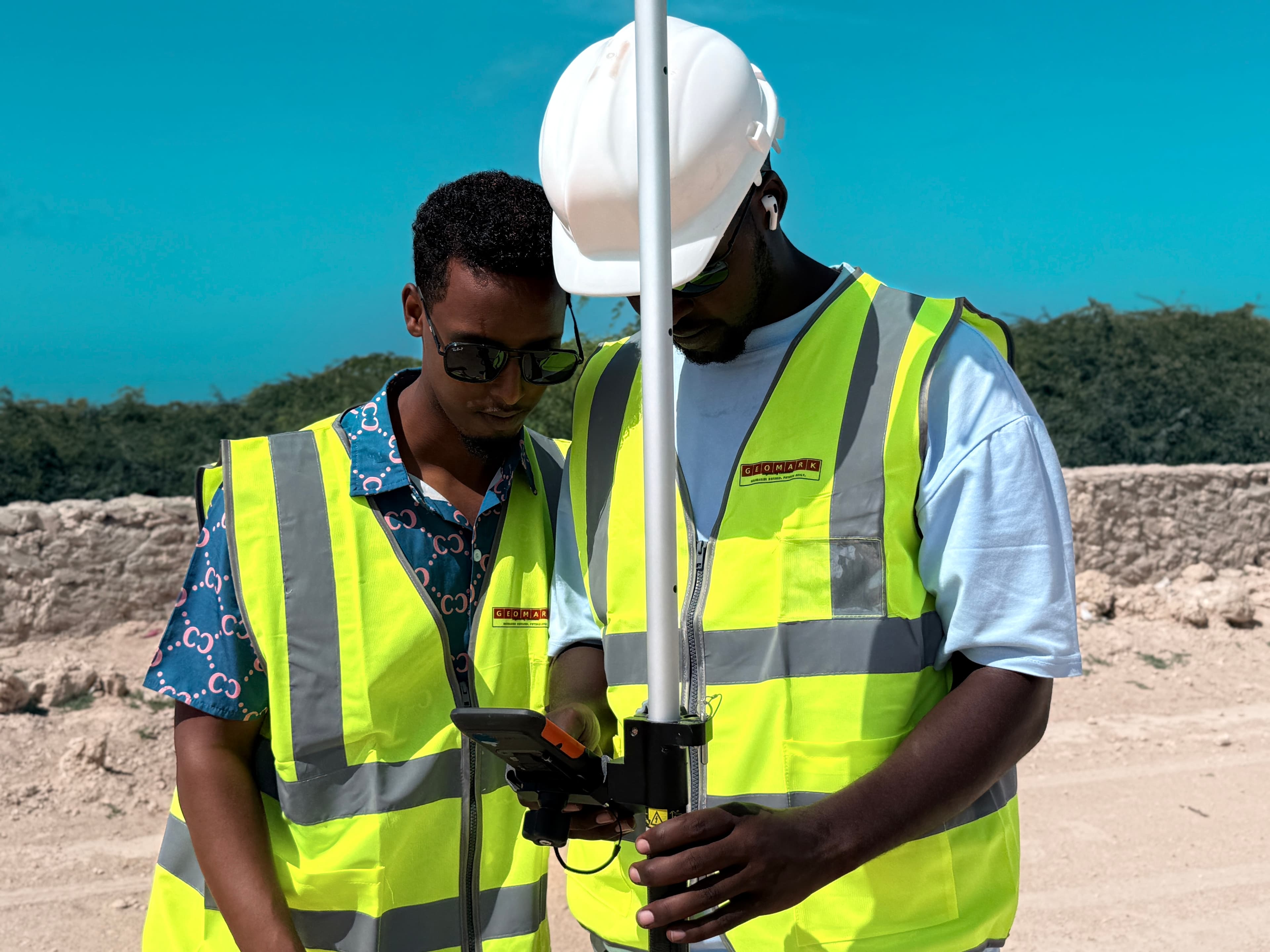
Our multidisciplinary team has extensive local experience, deploying state-of-the-art surveying gear and rigorous geotechnical classification methods to verify site suitability for roads, buildings, and utility systems.
- Geodetic control networks utilizing dual-frequency GNSS
- Rigorous subsurface boring log classifications
- Civil CAD alignment deliverables following design codes
Our Technical Workflow
Our process relies on sequential phases to ensure precise data verification and compliance with guidelines.
Desk Study
Review of historic archives, structural reports, and regional geologic documents to define the program scope.
Field Investigation
On-site geodetic control grid configuration, topographic survey, and soil trial pits or drilling.
Laboratory Testing
Index testing, sieve analyses, sand equivalent tests, and dry density classification in Mogadishu.
Interpretation
Our senior engineers analyze field and lab outputs to draft foundation and materials reports.
Reporting
Drafting and delivery of certified technical reports, strip maps, cross-sections, and CAD files.
Technical Toolkits & Deliverables
GNSS RTK
Geodetic Grid
UAV DRONES
Photogrammetry
ROBOTIC TS
Setting Out
COMPACTION
Proctor/CBR
STRIP MAPS
Soil Profiles
CAD 3D
As-Built Plans
Afgoye – Baraawe National Trunk Road Corridor
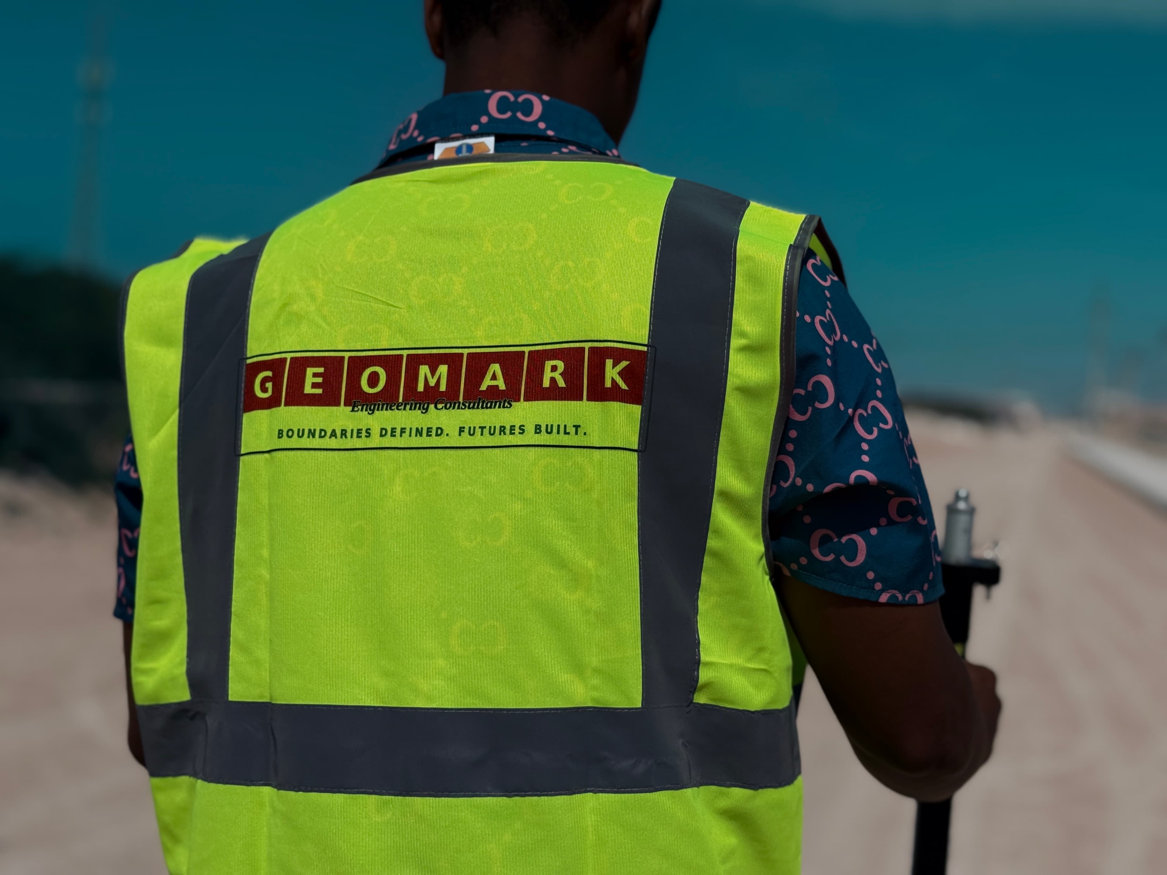
GEOMARK successfully delivered detailed engineering surveying, geodetic grid stabilization, and geotechnical borehole alignments on the 95 km Afgoye – Buulo Mareer section.
The GEOMARK Advantage
Geomorphic & Local Expertise
Our local engineers understand Somalia's complex subsurface layers, coastal sand formations, and regulatory boundaries.
Verified Technical Data
Redundant geodetic loop calculations and checked geotechnical boring tests prevent margin-of-error failures.
Modern Systems & Software
We deliver full digital compatibility. Survey lines, elevation points, and classifications map directly into BIM and Civil 3D files.
Partner with GEOMARK Engineering Consultants
Connect with our engineering specialists to receive a detailed technical proposal and project timeline within 48 hours.