Factual Engineering Surveys and Field Measurements
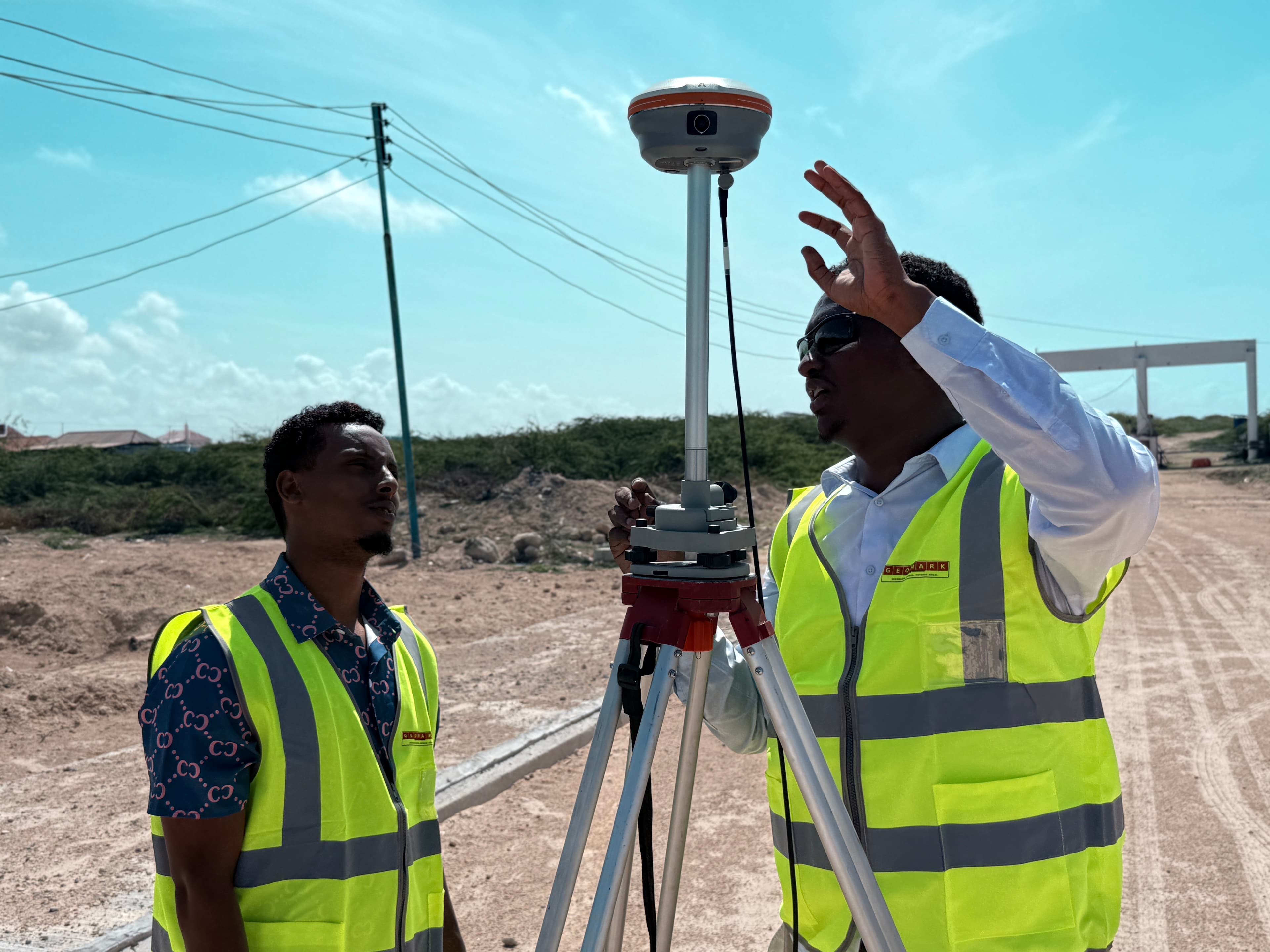
GEOMARK provides stable, validated topography profiles and soil descriptions that lay the groundwork for civil structures and transport corridors.
Our Mission and Approach
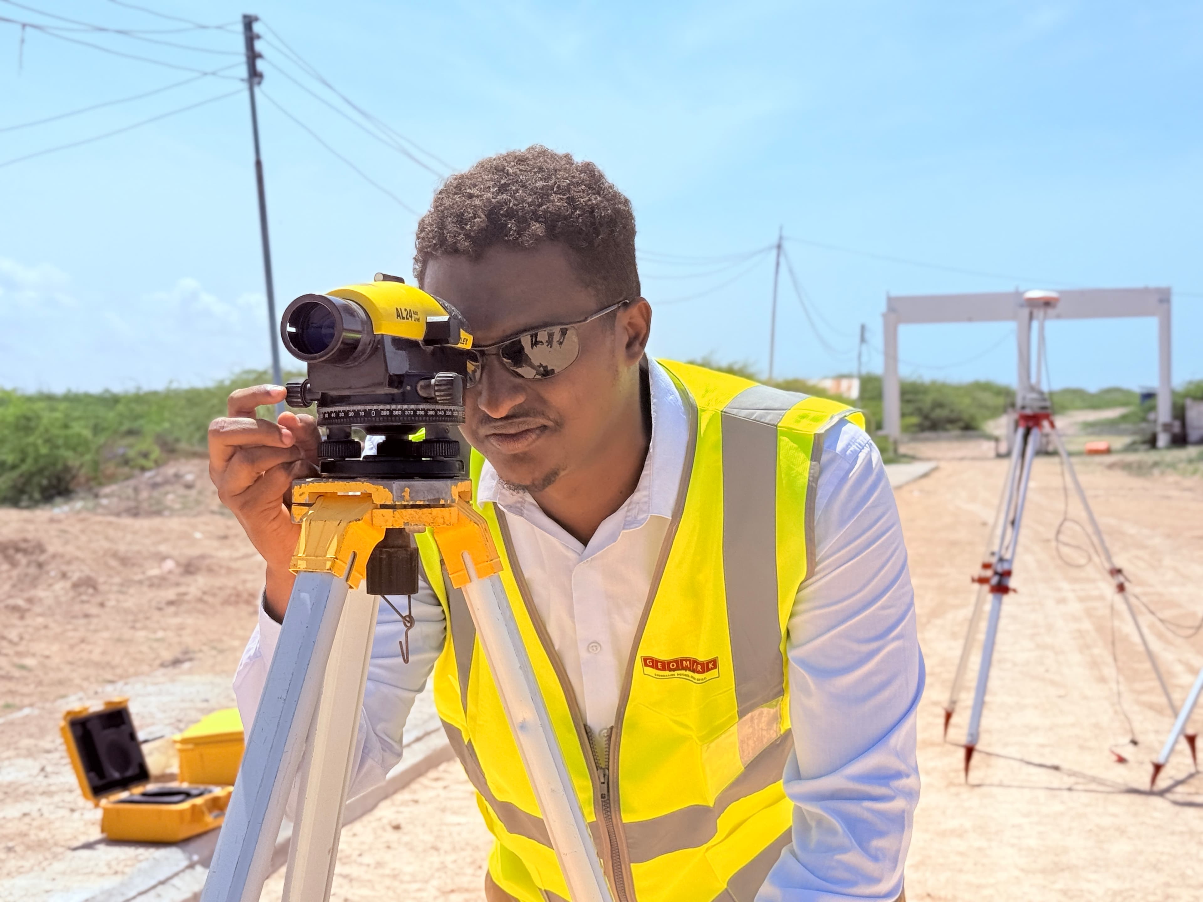
At GEOMARK Engineering Consultants, our approach centers on reducing client construction risks on high-stakes roads and municipal routes by collecting mm-accurate topographic points and delivering precise geodetic control networks.
We translate raw field constraints into verified CAD drawings, strip maps, cross-sections, and geotechnical logs that project developers, designers, and state entities can rely on explicitly.
Our Vision
To become the trusted reference for surveying, geotechnical engineering, and infrastructure support services throughout Somalia and the Horn of Africa.
Our Mission
To deliver precise, standards-compliant engineering services that reduce project risk, improve decision-making, and support sustainable development.
Our Core Values
Precision
Zero tolerance for mapping and coordinate errors.
Integrity
Factual reports showing checked test values.
Safety
Protective gear and standard procedures in field drills.
Standards-Compliant
AASHTO, BS & ASTM engineering codes.
Local Knowledge
Understanding distinct ground layers across SO.
Partnership
Integrating directly with road design teams.
On-Time
Fast, systematic mobile field unit updates.
Engineering Precision in Every Calculation
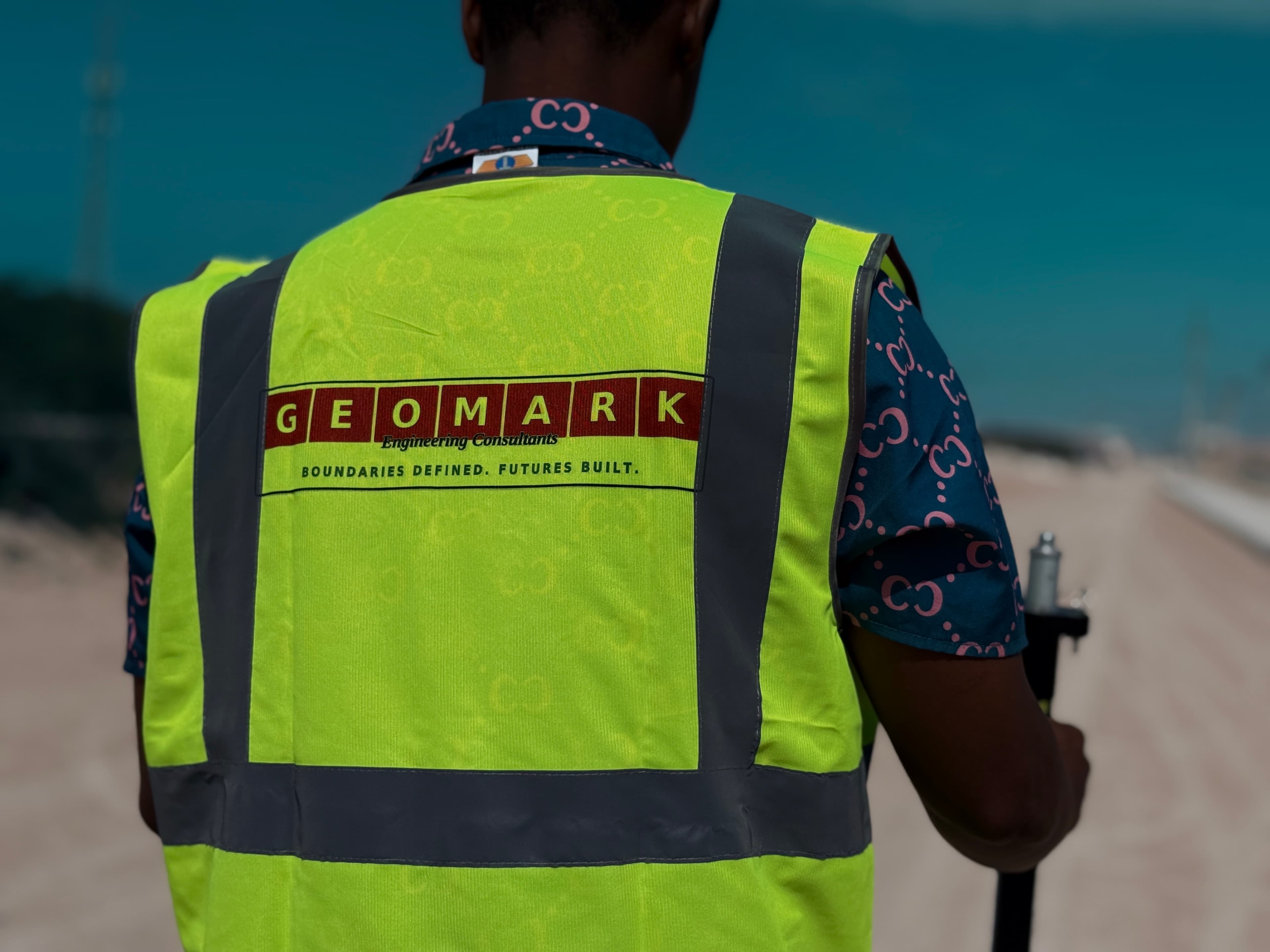
Stability starts with factual measurements. We minimize construction risk by verifying coordinates, establishing redundant geodetic control networks, and characterizing subgrade soils through standardized laboratory procedures.
Quality, Safety & Testing Standards
Every laboratory analysis and field alignment is carried out following strictly checked international engineering classifications.
Our Technical Team
Topographic Surveyors
Our geodetic survey specialists establish redundant site control loops utilizing multi-frequency GNSS networks.
Geotechnical Civil Staff
Experienced engineers managing borehole classifications, Standard Penetration Tests (SPT), and trial pit profiles.
CAD Specialists
Structural draftsmen translating raw terrain matrices into digital terrain models, strip maps, and elevation drawings.
Partner with GEOMARK Engineering Consultants
Connect with our engineering specialists to receive a detailed technical proposal and project timeline within 48 hours.