Flagship Road Project Somalia
Case study detailing the geodetic staking, field soil investigations, and CAD alignment files delivered for Somalia's critical trunk road network.
Afgoye – Baraawe National Trunk Road Corridor
Afgoye–Buulo Mareer Section (95 km)
GEOMARK was commissioned to perform comprehensive land and engineering surveying, establish redundant geodetic control loops, and direct geotechnical subsurface boring logs along the 95 km Afgoye – Buulo Mareer section. This segment serves as a major trade and transport connection.
Completed Work Scopes
1. Geodetic Control Networks
Established dual-frequency GNSS loops with 2cm absolute accuracy bounds.
2. Subsurface Soil Profiling
Performed boring tests up to bedrock levels in alignment areas.
3. Borrow-Pit Index Logging
Conducted sieve analysis, grain size distributions, and CBR profiling.
4. CAD Alignment Delivery
Rendered strip maps and cross-sections formatted in Civil 3D.
Project Technical Specifications
- Trunk CorridorAfgoye – Baraawe Highway
- Active SectionAfgoye–Buulo Mareer Segment
- Route Length95 Kilometers (95 km)
- Regional TerritoryLower Shabelle Region, SO
- Client BodyFederal Government of Somalia, Ministry of Public Works
- Technical Code ComplianceWGS84 UT-38N // AASHTO
On-Site Photography
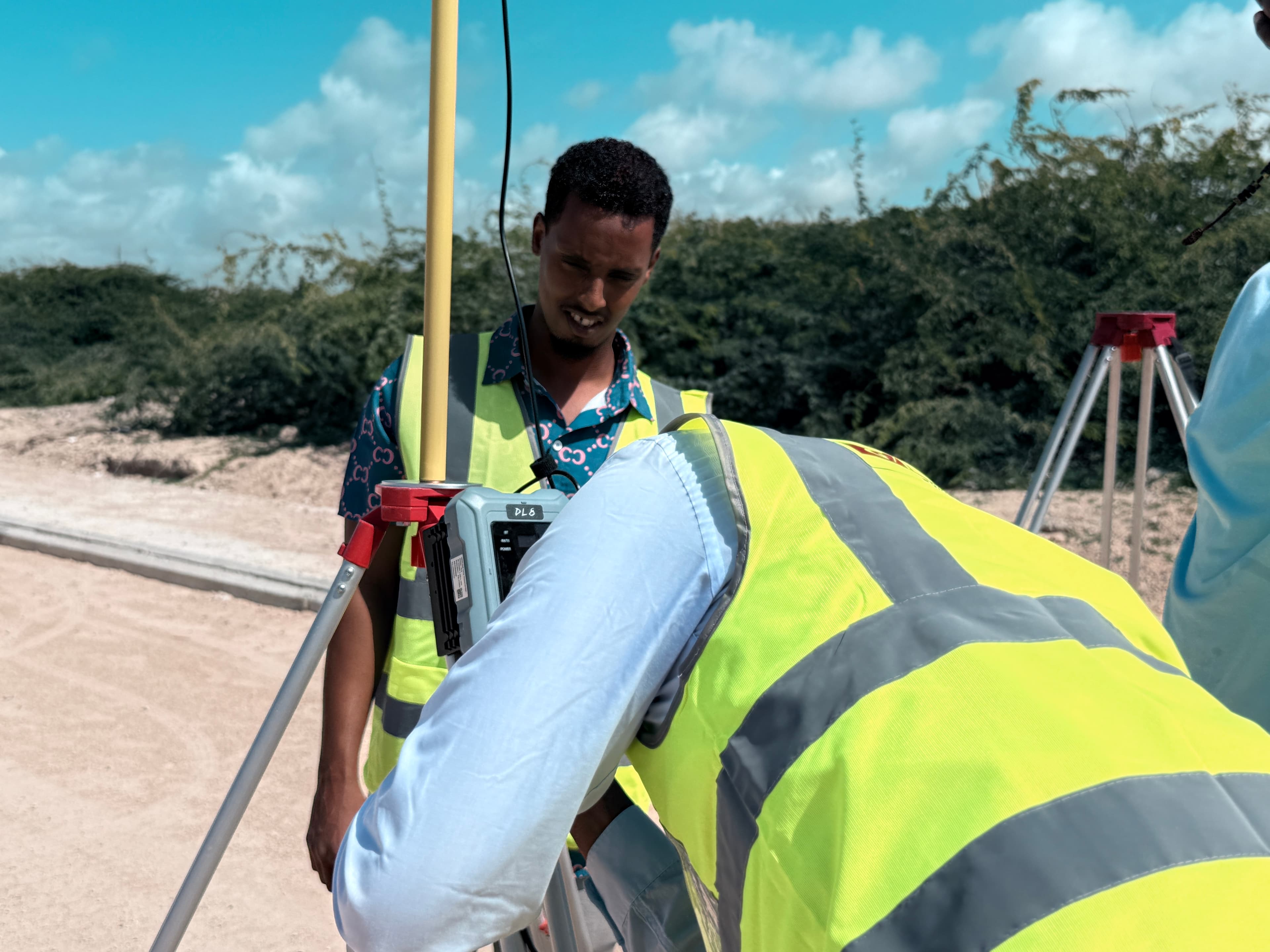
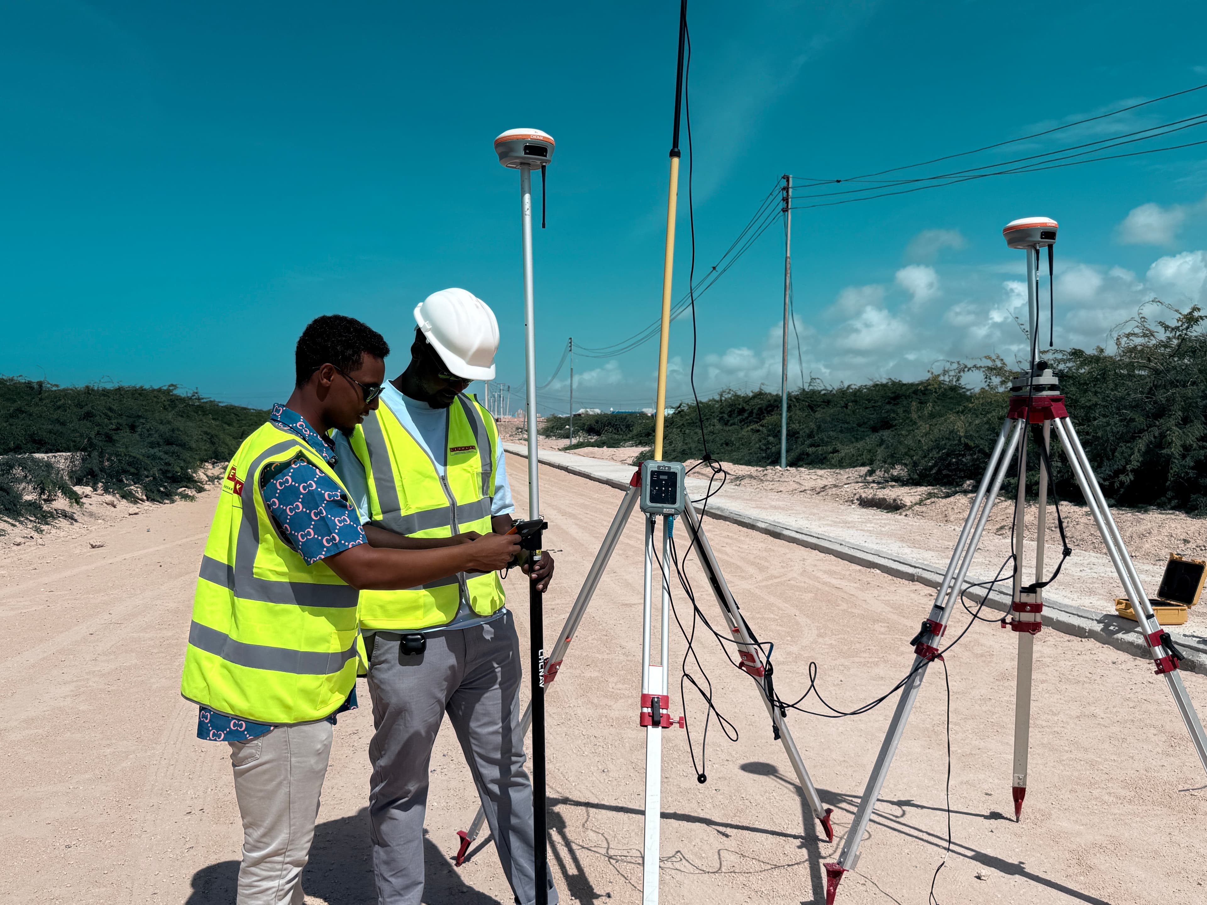
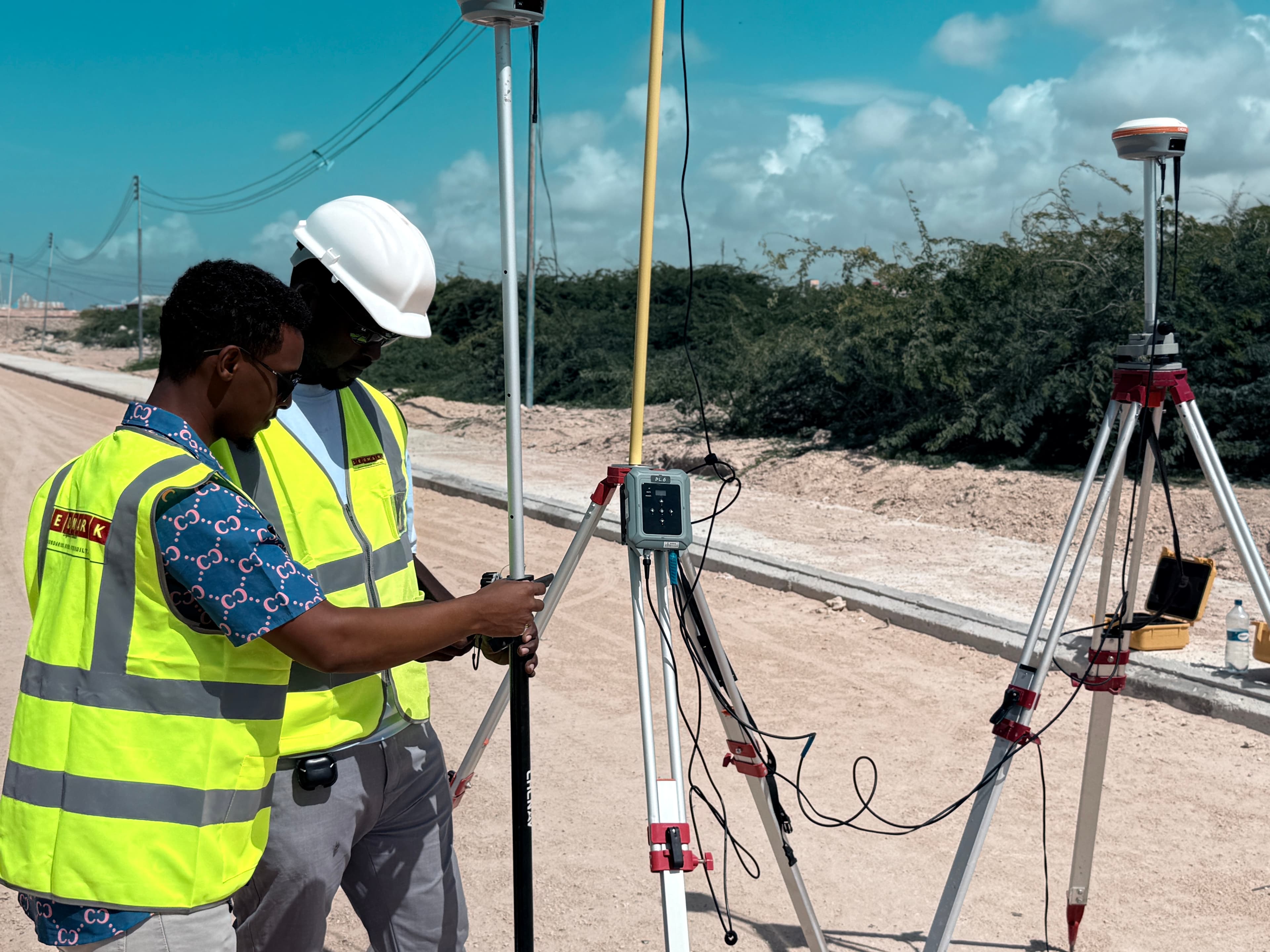
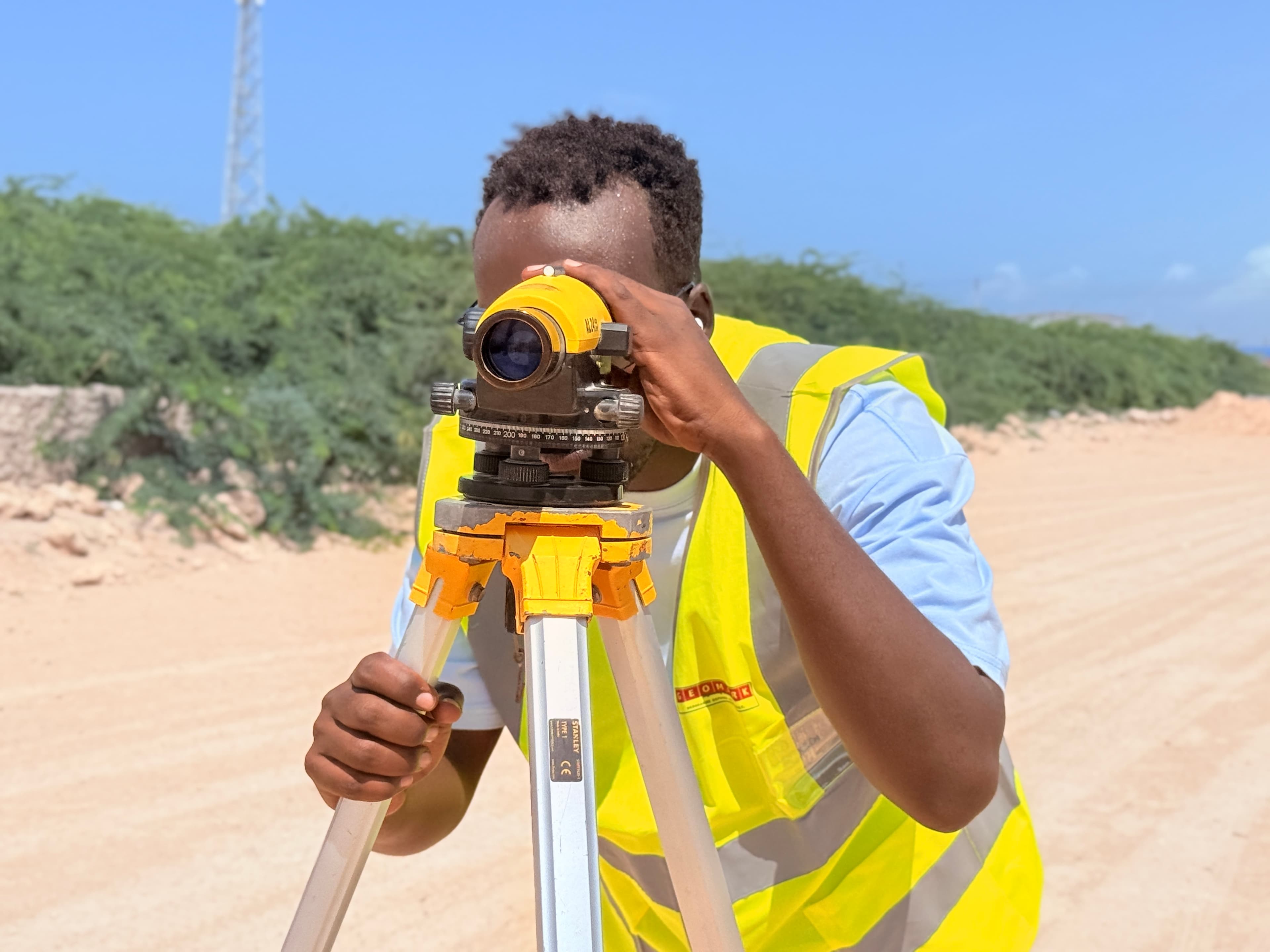
Documentation captured during geodetic staking, geotechnical boring, and materials survey operations along the Afgoye – Baraawe corridor.
Corridor GNSS Setup
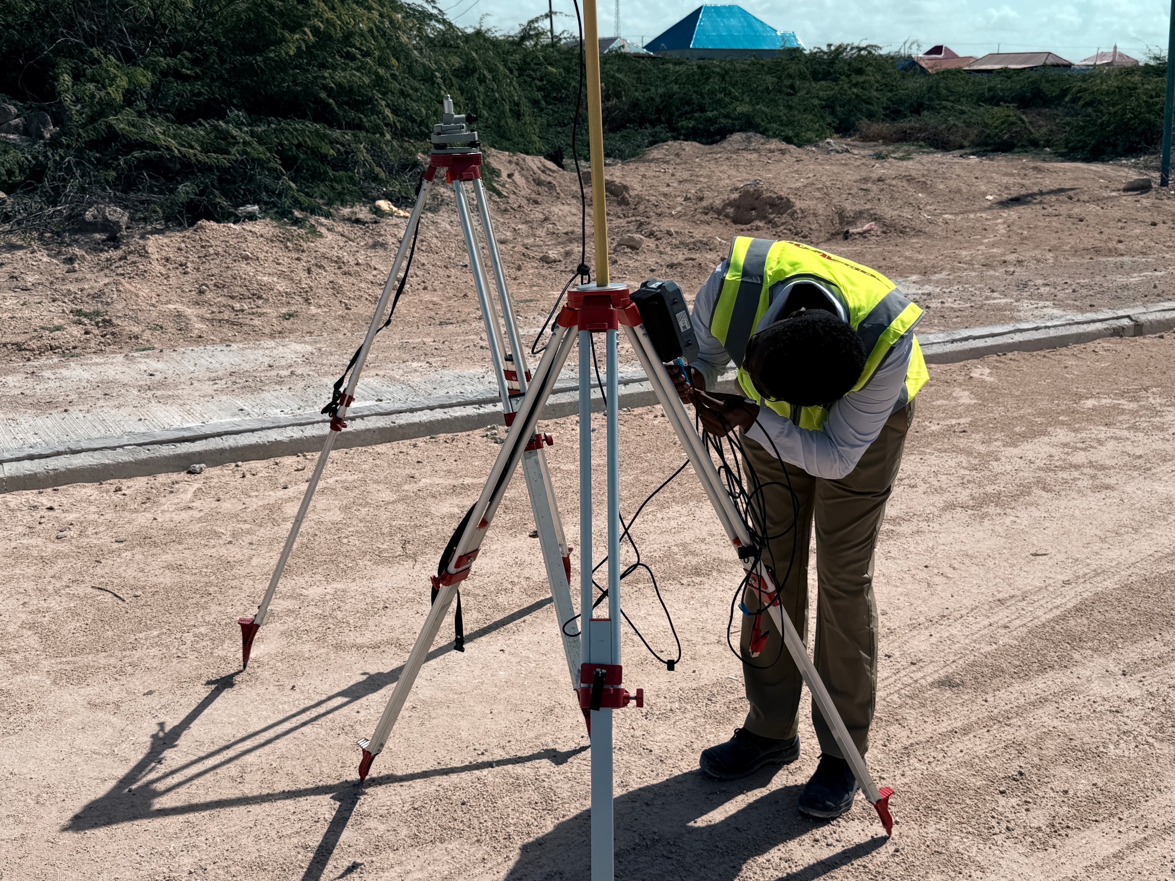
GNSS RTK Base Station
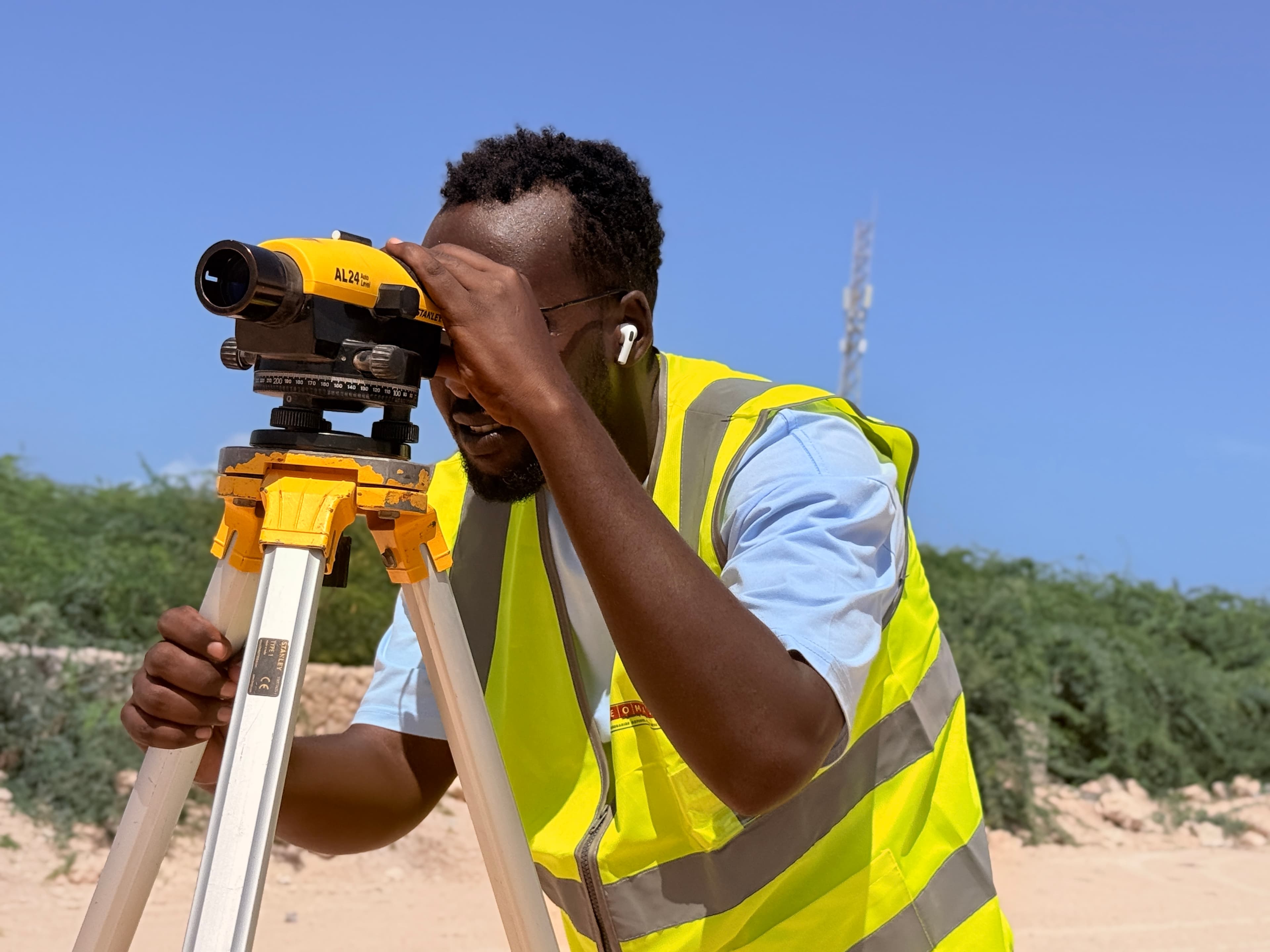
Precision Levelling Operations
Team Field Coordination
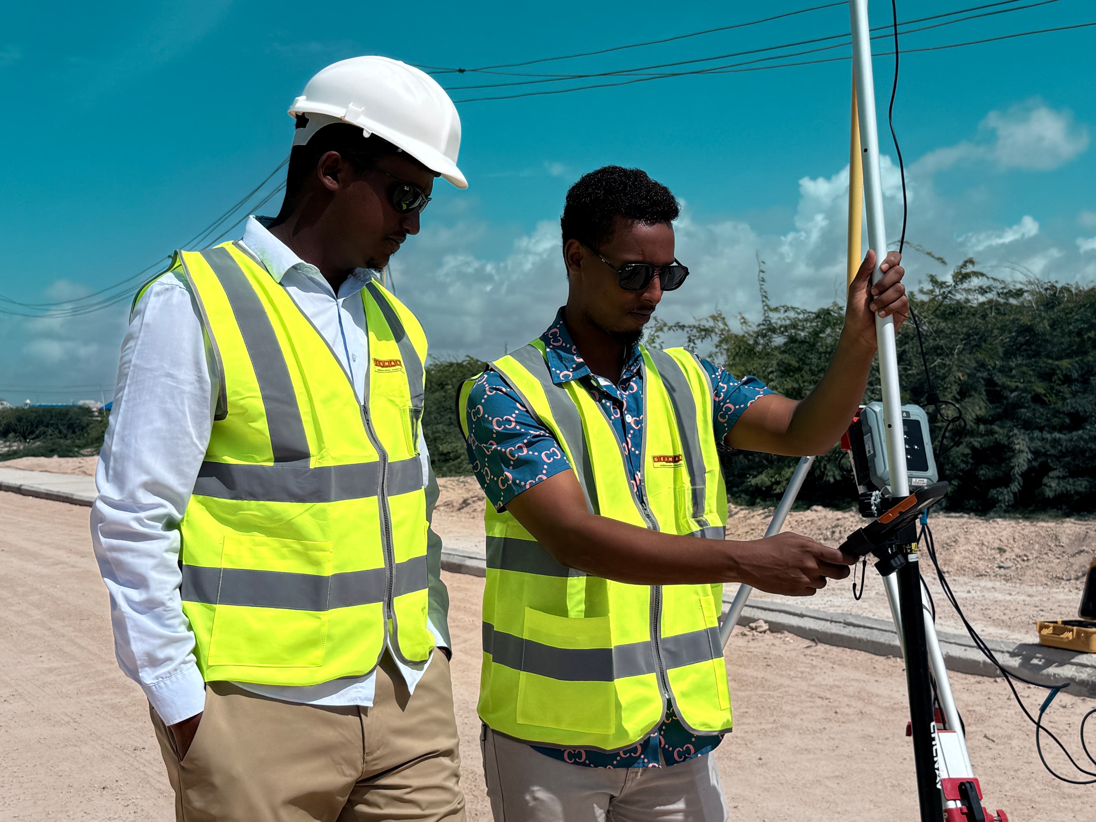
CHCNAV Survey Equipment
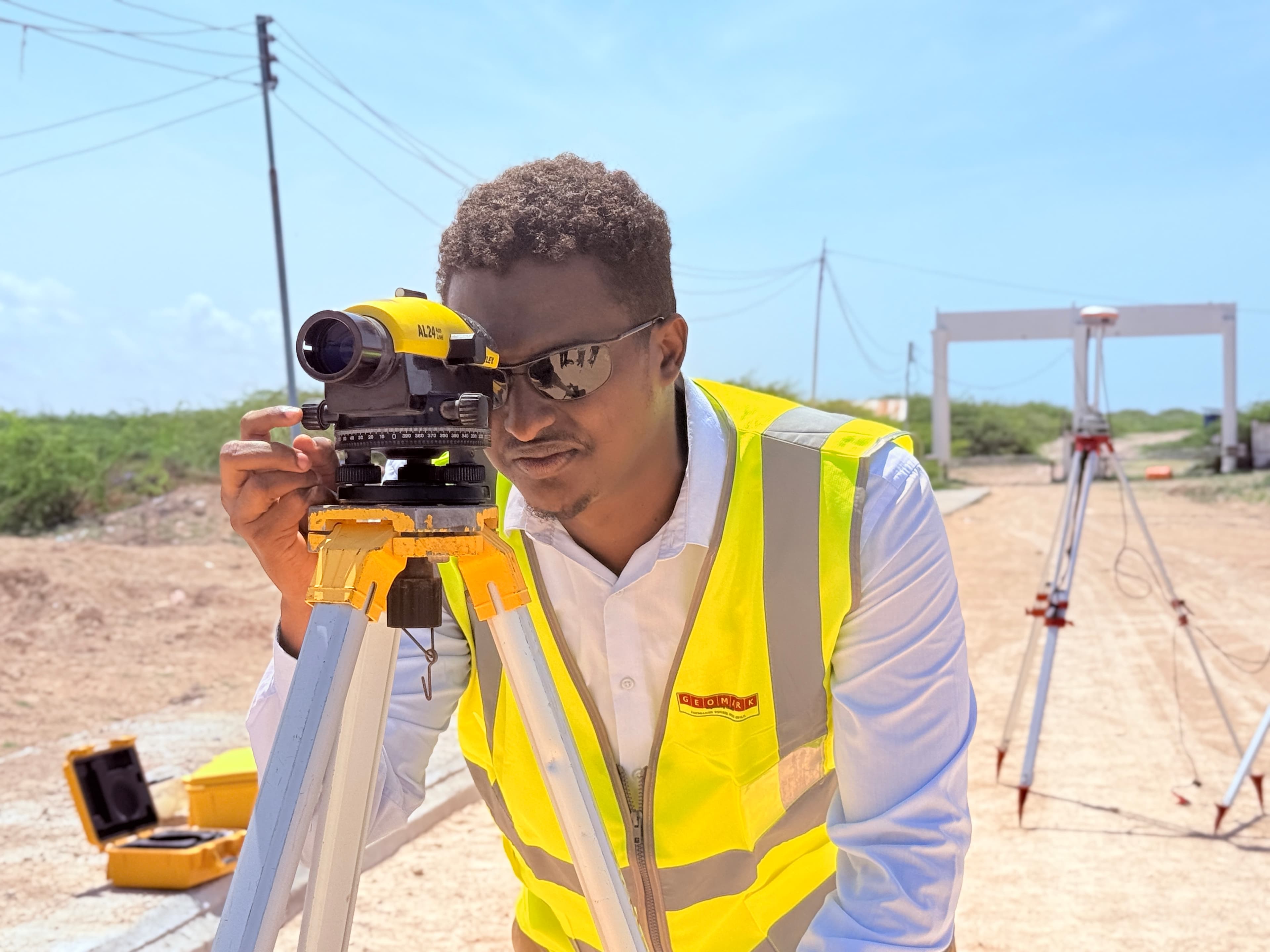
Road Elevation Survey
Partner with GEOMARK Engineering Consultants
Connect with our engineering specialists to receive a detailed technical proposal and project timeline within 48 hours.